

Directs Officials to Digitally Record Actual Crop Status, Cross-Verify Survey Data and Develop Technical Solutions for Land Map Errors
Published on: October 09, 2026
By: BTNI
Location: Raipur, India
Chhattisgarh Chief Secretary Vikasheel has directed officials to ensure 100% girdawari under the Digital Crop Survey and maintain accurate digital records of the actual status of crops sown in agricultural fields.
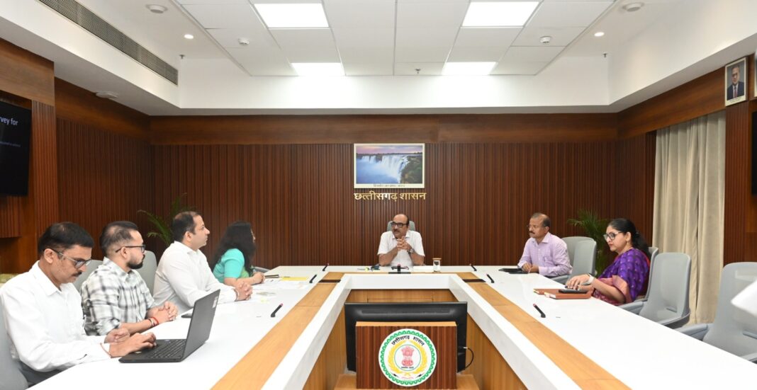
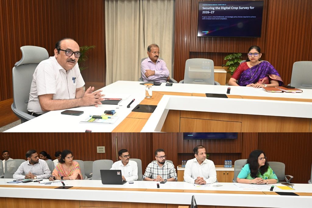
A meeting chaired by the Chief Secretary was held at Mahanadi Bhawan, Mantralaya, to review the progress of the Digital Crop Survey, the completeness of land records and the measures required to ensure comprehensive crop enumeration.
He instructed officials to verify the relevant land parcels, known as khasras, to establish whether crops have actually been sown on the land. In areas where crops are present, the prescribed procedure for creating polygons must be followed and the corresponding information recorded digitally.
The Chief Secretary emphasised that the survey should produce accurate and reliable information about crops cultivated in agricultural fields.
State-Level Teams to Cross-Verify Survey Data
To ensure the quality and reliability of the Digital Crop Survey, Vikasheel directed officials to constitute a state-level team to conduct field verification across different districts.
The teams will verify the information recorded in the survey at the actual locations and prepare reports detailing the number of khasras verified, the records found correct and the locations where discrepancies have been identified.
Officials were instructed to correct erroneous records and ensure internal checks of the survey data.
The Chief Secretary also directed a comparative assessment of Digital Crop Survey data against information relating to paddy cultivation, farmer registration and paddy procurement. Officials were asked to reconcile information available in different records and make necessary corrections.
Technical Solutions Needed to Resolve Map Errors
The meeting reviewed key challenges encountered during the Digital Crop Survey, including the unavailability of maps and other technical difficulties.
The Chief Secretary stated that such issues should not cause unnecessary delays in completing the work. He directed the Revenue Department to identify suitable technical solutions and prepare an action plan for updating maps wherever necessary.
Cases requiring physical verification and polygon verification must be completed in accordance with the prescribed procedures, he said.
Review Meetings with District Collectors
Vikasheel directed Revenue Department officials to hold meetings with district collectors to review survey progress and verification activities.
Officials concerned in every district must verify village and agricultural land records and take time-bound action to address identified shortcomings.
ALSO READ-
- Mahtari Vandan Yojana Strengthens Women’s Financial Independence: CM Vishnu Deo Sai
- Chhattisgarh Extends Chief Minister’s Electricity Bill Settlement Scheme Until December 31
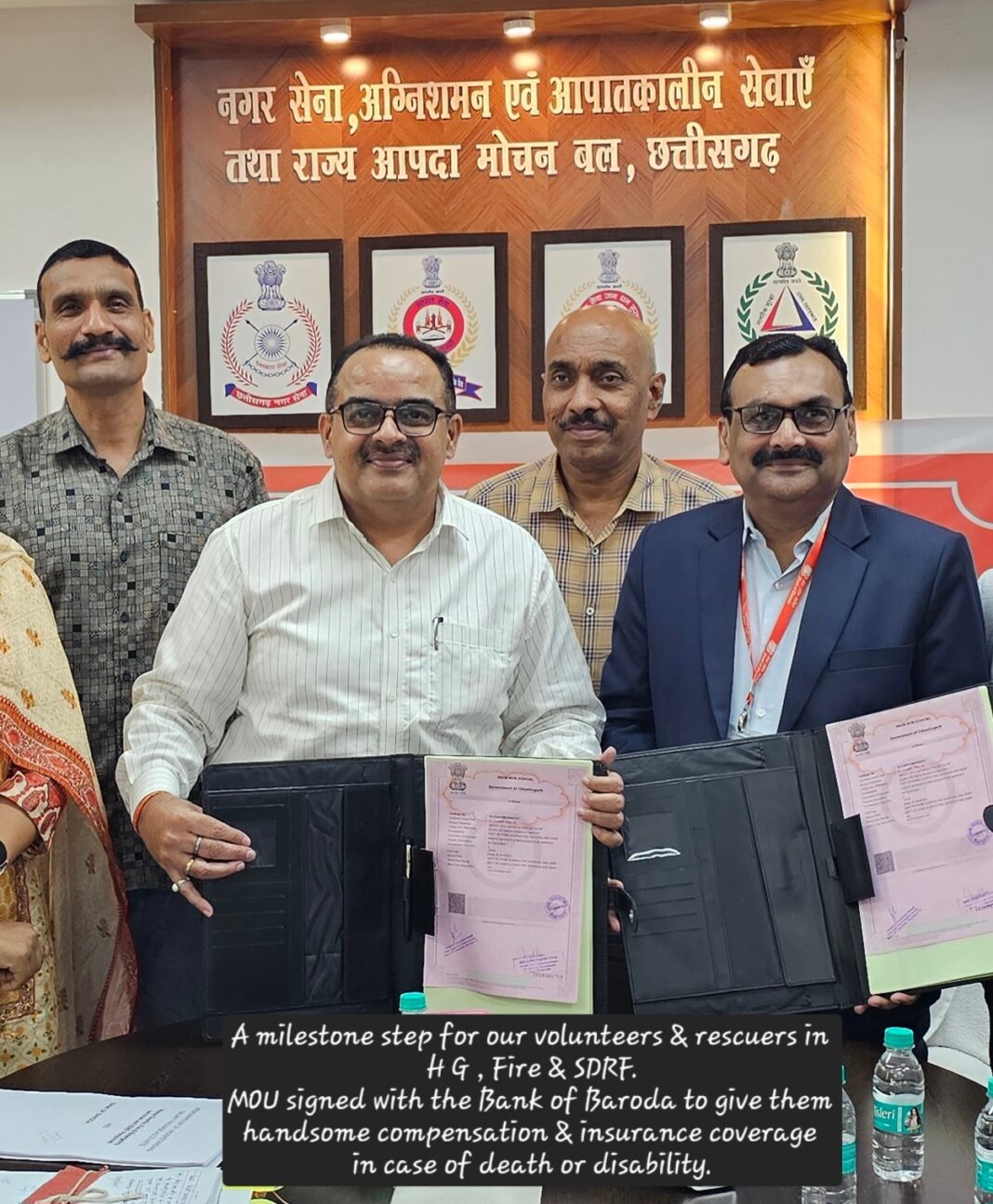
- Bank of Baroda Announces Special Salary Benefits for Chhattisgarh Home Guards, Fire and SDRF Personnel
- Ensure 100% Girdawari Under Digital Crop Survey: Chhattisgarh Chief Secretary Vikasheel
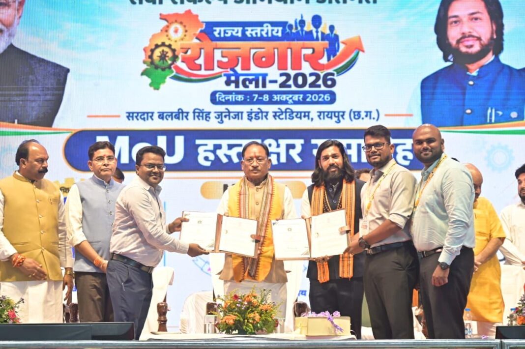
- Chhattisgarh Signs MoUs to Align Youth Training with Industry Needs
He also stressed the need for regular monitoring and coordination among departments to ensure effective completion of the survey.
Senior Officials Attend Review Meeting
The meeting was attended by Subodh Kumar Singh, Principal Secretary of the Chief Minister’s Office and Energy Department; Reena Baba Saheb Kangale, Secretary, Food and Civil Supplies Department; Siddharth Komal Pardeshi, Secretary, Agriculture and Farmers Welfare Department; Shammi Abidi, Secretary, Revenue and Disaster Management Department; Prabhat Malik, Director of Industries; Vineet Nandanwar, Director of Land Records; and Fariya Alam Siddiqui, Director of Food, along with other senior officials.
SEO Excerpt: Chhattisgarh Chief Secretary Vikasheel directed officials to ensure 100% girdawari under the Digital Crop Survey, cross-verify crop records, correct land map errors and improve coordination across districts.